The parish of Radley is situated halfway between Oxford and Abingdon. For centuries it was part of the county of Berkshire. On 1 April 1974 county boundary alterations brought about by the Local Government Act 1972 meant that the parish and others in North Berkshire became part of Oxfordshire. The modern parish covers an area of about 3,000 acres. Local government services are provided by Oxfordshire County Council, the Vale of White Horse District Council and Radley Parish Council. See the Parish Council’s website for information about Radley today.
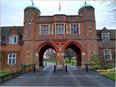
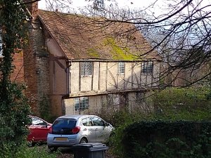
The River Thames forms the parish boundary on the east side, and can be reached through Lower Radley and thence by public footpaths. Lower Radley is the old part of the village and several houses from the sixteenth and seventeenth centuries, some thatched, still remain. The Oxford–Didcot railway line running north and south divides Lower Radley from the main village, much of which was built in the 1930s, 1950s and 1960s, with smaller developments in the 1980s and 1990s. In addition to the conventional houses, there are four mobile home parks in the parish. The famous public school, Radley College, lies to the west of the parish.
In the southwest of the parish, between Lower Radley and Abingdon, is the Radley Lakes area. Once farmland and then quarried for gravel, the area is rich in wildlife and much enjoyed by local people and visitors. You can learn about the area’s history and wildlife, and how to visit it in The Radley Lakes Story, a richly illustrated book published in March 2025.
In the very north of the parish is an area of ancient semi-natural woodland now called Radley Large Wood. When Abingdon Abbey held the manor of Radley, this was its enclosed deer park. It was used by later lords of the manor for timber and game. Within its boundary today are three of the parish’s mobile home parks.
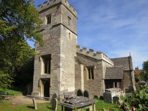
Radley has a primary school, a flourishing community shop, a well-used village hall and a popular pub, but sadly no longer a post office. St James the Great Church dates from the end of the 13th century and stands on higher ground away from the main part of the village alongside a vicarage that may be the oldest building in the country to have been in continuous use as the home of a church’s incumbent.
Find out more
Read a brief history of Radley on this website.
To find out what was happening in the nearby town of Abingdon through the Ages, see the Millennium Timeline created by Abingdon Area Archaeology & History Society.
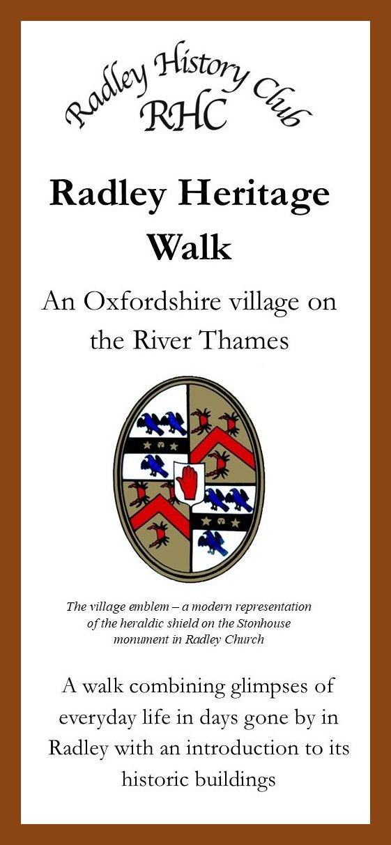
Radley Heritage Walk
Discover the history of Radley by following the Radley Heritage Walk created by Radley History Club.
You can download a free copy of the Heritage Walk leaflet or buy a printed copy for £1.50 from Radley Village Shop, at Radley History Club meetings or on request from the Chairman by email. New Club members and new village residents will receive a free printed copy.
The leaflet features 24 points of interest and includes a map. Find out more and download a free copy
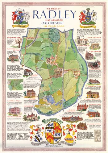
Millennium Map
The Millennium Map of Radley shown below was commissioned by Radley History Club in 2000. It is featured on one of a series of postcards of Radley created by the Club and available from Radley Village Shop.