[Like parts of Church Farm this page is still under construction]
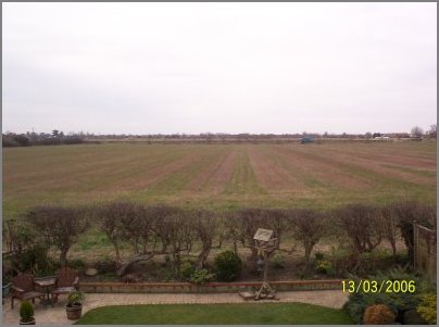
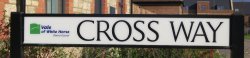
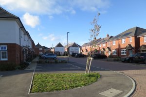
Roads in Radley in 2010
The fully illustrated book, Roads in and around Radley, published by Radley History Club back in 2010 is now out of print. Below you can download a PDF (3 MB) of the pages from the book that explain the origins of the names of roads that existed in Radley itself in 2010.
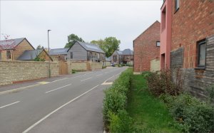
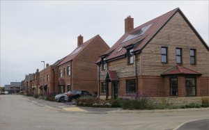
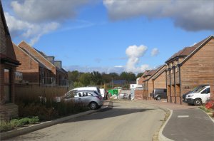
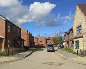
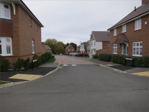
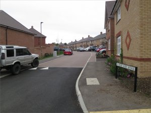
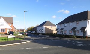
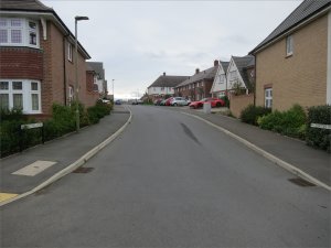
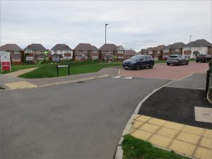
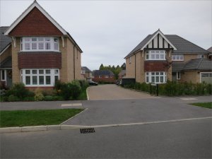
Roads at Church Farm and The Lawns
You may have wondered where the names of the roads on Radley’s two recent and large housing developments, Church Farm and The Lawns, came from. Here we explain the origins of these names.
Note: For Radley, the statutory duty to number new houses and developments, and to name new streets, lies with the Vale of the White Horse District Council (VWHDC). Its website sets out its policy on street naming and numbering. For a new development, VWHDC asks the relevant town or parish council to consider names put forward by the developer or to make their own street name suggestions.
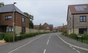
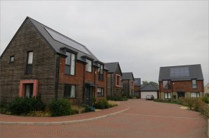
Church Farm
The name of the housing development is that of the former farm on whose land it is built. The large house opposite the church on the corner of Church Road and Kennington Road was once the farmhouse of Church Farm.
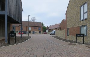
Church View and College Close
These two names were proposed by Radley College and reflect their location. They were part of the first phase of building at Church Farm, a development by Pye Homes in partnership with Radley College (the former owner of the land).
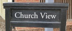
The name reflects the road’s location just across Church Road from Radley Church. The different style of road sign is because Radley College owns the properties, which it uses for staff accommodation.

The name reflects the connection with Radley College. Some of the properties are occupied by College staff. The rest are privately owned, and thus the road sign is a standard VWHDC one with its logo.
Roads named after former village residents
For the rest of the Church Farm development, Radley Parish Council asked village residents to suggest the names of past Radley people who merited having a road named after them. A list of the most popular 20 names, none of whom were still alive, was presented to the developers to choose from and the local authority to agree.
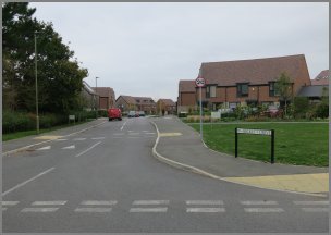
The background to the names of the other eight roads on Church Farm is given below. The order of their presentation reflects the timeline of the building of the roads and the roads’ location relative to the entrance to the development off Church Road.
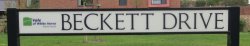
The main road running through Church Farm from Church Road to Whites Lane is named after David Beckett.
David made a significant contribution to the community during his 50 years living in Radley. He was the organist and choirmaster at Radley Church for 45 years. He also worked with Radley College on ways to involve its pupils in village life, and helped set up the Radley Men’s Fellowship and Radley Primary School’s first Parents Association. A major achievement was his success in reviving of the title of ‘Clerk of the Green Cloth’, whose elected holder raises funds for village projects.
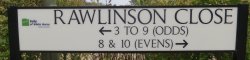
This road is named after Douglas Rawlinson (known as ‘Doug’).
Doug came to live in Radley with his wife June in 1966. He is best known in the village as an instigator and founder member of the Radley Retirement Group, which first met in January 1989 as the Radley Pensioners Association. He was for many years the Group’s social secretary organising speakers, outings, holidays and theatre trips. Over the years Doug also helped with the Cubs, served on the Parish Council, was a churchwarden, put on an annual slide show of village events, and was a long-standing member of Radley History Club.
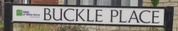
This road is named after David Buckle MBE.
Read more about David’s life
Brought up in a children’s home, David Buckle was evacuated to Radley in 1941 to work on the land. He went on to serve on the Parish Council for 51 years (as its chair for seven), as a county councillor for 12 years and as a magistrate in Abingdon for over 30 years. He was the Oxford secretary of the Transport and General Workers’ Union for 24 years, fighting many battles to improve the lot of workers at the Cowley car plant. David, a stalwart member of Radley History Club, was awarded an MBE for public service in 1988.

This road is named after Stanley Baker (commonly known as ‘Stan’).
Read more about Stan’s life
Stan Baker made a major contribution to local history and the community. He was an early member of Radley History Club and its archivist for 14 years. In 1996, he contracted Guillain-Barré Syndrome, which limited his mobility for the rest of his life. He embraced computers and, amongst other things, deciphered and transcribed old records from national and county archives for the History Club. In 2007 he received an Award for Personal Achievement from the British Association for Local History. Stan was also a loyal supporter of Radley Church and a leading light in Radley Retirement Group.

This short road off Baker Crescent is named after John Homewood.
October 2025: road still under construction (no road sign)
John farmed Peach Croft Farm for many years as a tenant farmer for Radley College. With his wife Nancy, he developed the farm’s turkey and geese business, started the farm shop and ‘Pick Your Own’, and diversified into letting out redundant farm buildings to small businesses. John was active in local farming organisations, including the Abingdon Branch of the National Farmers’ Union. He was chairman of Radley History Club for five years from 2002 and then its vice-chairman for a further five years.
This road is named after Marie Cross MBE. More about Marie Cross
October 2025: road still under construction
‘Miss Cross’ was headteacher of Radley Primary School from 1939 until her retirement in 1974, and was the last headteacher to live in the School House adjoining the Old School building. She is also remembered as an inspiring ringer of both church bells and handbells. She encouraged and trained young bell ringers, and worked tirelessly for the Oxford Diocesan Guild of Bell Ringers for many years. Marie was awarded an MBE in 1996 for services to bell ringing and to the community in Oxfordshire.
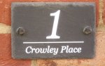
This road is named after Professor Basil Crowley.
October 2025: road still under construction (no road sign)
Basil is best remembered in Radley for leading the Save Radley Lakes campaign of 2005 to 2007, which succeeded in stopping Thrupp and Bullfield Lakes from being filled with flyash from Didcot power station. He was a parish councillor for 15 years until he died in 2016, becoming both vice-chairman and chairman of the Finance and Administration Committee. A keen photographer, Basil recorded over a thousand observations of the flora and fauna at Radley Lakes between 2004 and 2015. The book, The Radley Lakes Story, published in March 2025, is dedicated to him.
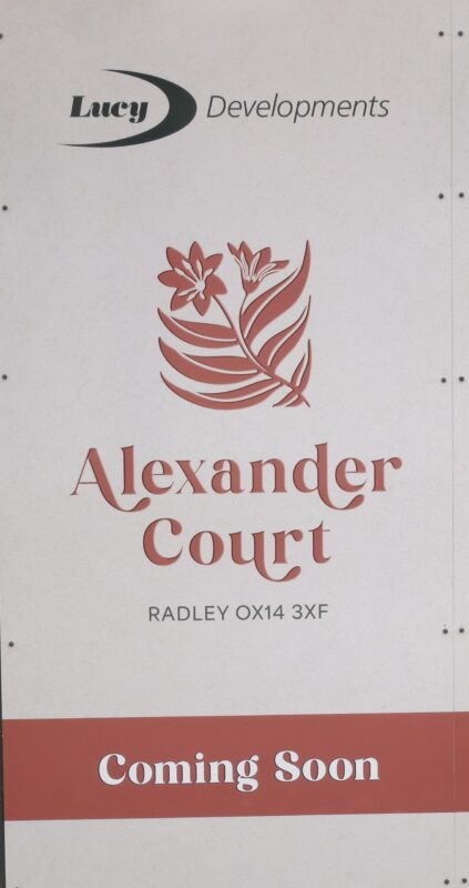
Alexander Court, off Baker Crescent, is a small development of seven large houses by Lucy Developments. It is named after Joy Alexander.
October 2025: road still under construction (no road sign)
Joy was a ‘larger than life’ character who, over the years, was involved in many village activities including tree planting and helping at the Lunch Club. She served as a parish councillor for 20 years, and was its vice-chairman for many years and chairman for two years (she was very proud of being its first female chairman). Joy founded Radley History Club in 1997 and was the Club’s chairman until her sudden death in 1999. At the time of her death, she was also chair of governors at Radley Primary School and chair of the Abingdon Hospital League of Friends.
The Lawns
Work on this housing development by Redrow Homes began before that on Church Farm. As of October 2025, building work at the site is complete apart from the erection of a new community venue, the Radley Rotunda.
Radley Parish Council adopted a different method of selecting possible road names from the one used for Church Farm. Radley History Club was asked for ideas and the names of the 12 roads at The Lawns were, with one exception, suggested by the Club.
The names were chosen to illustrate the farming background of the area using information held in the Club’s archive from land surveys made in the 17th and 18th centuries. The exception is Howard Close, a name proposed by Radley Parish Council.
Of the 11 names put forward by Radley History Club, eight come from the 1633 terrier (land survey) and three from a land survey made in 1768.
Names based on the land terrier of 1633
Eight of the roads are named after tenants and plots of land recorded in the 1633 ‘terrier’, a detailed survey of the manor of Radley. The terrier may have been commissioned by Sir George Stonhouse (1603-1675), who had inherited the manor in 1632. (For more about the 1633 terrier, see Early Modern Radley: People, Land and Buildings 1547–1768.)
At that time, most of the land in Radley consisted of large arable open fields, divided into furlongs and then into strips. Individual strips were farmed either direct from the manor or by its tenants. The strips always ran downhill rather than across the slope, and this dictated the size and shape of the furlongs. The whole field of strips was either planted with the same crop or all the strips would be left fallow at the same time.
The open field in the north of the parish between Radley Large Wood and the meadow by the river was called Wore. It occupied 105 acres, divided into seven ‘furlongs’ and 180 strips. Nearly three-quarters of the strips were retained by the manor and farmed by people they paid. This relatively large amount suggests the manor was aiming to build up contiguous blocks that it could eventually let as enclosed fields.
Roads named after furlongs in the field called Wore
Four roads at The Lawns are named after Wore’s furlongs. We don’t know their precise location and haven’t attempted to match roads to furlongs. However, the 1633 terrier gives us details about the size of the furlongs and who farmed them.

Eight Acre Despite its name, this furlong was in fact 11 acres. It was divided into 20 strips running north–south; 16 of these strips were farmed direct by the manor rather than being let to tenants.

Fellthorne Sometimes spelt ‘Wellthorne’, this furlong totalled 25 acres and was divided into 26 strips running west–east. About 20 of these strips, including 15 in a continuous block, were farmed direct by the manor.

Middlegrove This furlong of 15 acres was divided into 26 relatively short strips, running west–east. About 18 of these strips were farmed direct by the manor; seven were held by Martin Crouch, a tenant of the manor.

Parkehill This furlong totalled 14 acres divided into 26 strips running north–south and again relatively short. The manor farmed 23 of the strips directly, suggesting the land was well on the way to being let as an enclosed field. The furlong’s name suggests it was in the southwest of Wore, not far from the later Park Farm.
Roads named after tenants of the manor in 1633
Most tenants of the manor in 1633 lived in what is now Lower Radley, but held strips in the open fields scattered over the whole parish. They also held strips in the meadows by the river and had rights to graze animals over the commons (unenclosed pasture or meadow). Most tenancies were ‘copyholds’ governed by the custom of the manor, for example, limiting rents and requiring payments at the beginning and end of a tenancy. New tenancies, however, were increasingly leaseholds, let on a more modern market basis.
Four tenants of the manor in 1633 have roads named after them. They were chosen because their holdings illustrate the variety of these at this time and not because the people were in any way special. Almost certainly, all four men had their homesteads in what is now Lower Radley.

Henry Avery rented a farmstead (a dwelling and associated outbuildings) and 28 acres from the manor. This was about the average for a tenant and probably just enough to support a family. Half his holding was in the open arable fields, including two acres in Wore, and the rest in Radley’s meadows and pastures.

John White rented a farmstead and 13 acres from the manor. Almost all his holding was in the open arable fields, including just under an acre in Wore. This was a relatively small holding, and so he might have had to supplement his income by labouring for others.

John Willis had, by some way, the largest manorial tenancy in Radley consisting of a farmstead and 105 acres, of which 81 acres were in the open arable fields, including four acres in Wore. A holding of this size would have required paid labourers.

Thomas Crouch had one of Radley’s smallest tenancies – a small farmstead and five acres. Just under three of these acres were in one of the other open arable fields; none were in Wore. With such a small holding, he would probably have been a paid labourer on the manor’s own land.
Names from the survey of 1768
In the first half of the 18th century, Radley’s large open fields were enclosed into smaller individual ones. These were then grouped into sizeable farms which the manor leased to tenants. The resulting farms and fields are detailed in a survey made in 1768 of the land owned by Sir William Stonhouse (c.1714-1780), who had inherited the manor of Radley in 1767. (For more about the 1768 survey, see Early Modern Radley: People, Land and Buildings 1547–1768.)
The field called ‘Wore’ became part of Park Farm (about 350 acres), whose former buildings are on Kennington Road. In 1768 the tenant was John Farbrother. Three of the roads at The Lawns are named after fields at Park Farm.

Further Wore The name of this field of 35 acres, which was probably arable, suggests it was in the far north of Radley, bordering on Sandford Lane. It is almost certainly the site of the housing development.

Hither Wore The name of this field of 47 acres (again probably arable) suggests it was just to the south of Further Wore and hence to the south of the current development.

Curmore This field of only seven acres was probably a small pasture between Further Wore and Hither Wore. In an earlier time, there seems to have been a barn there served by a rough track from what is now called Kennington Road.
Name suggested by the Parish Council

This road is named after someone much more recent, Miss Phyllis (Phyl) Howard.
Originally from south London, Phyl was a long-standing resident of the Woodlands mobile home park. She served two terms on Radley Parish Council from 1995 to 1999 and 2012 to 2016. A major achievement in her second term was getting Pebble Hill designated a ‘no cold calling zone’. She also volunteered at Radley Village Shop for several years.
Any questions or comments?
If you have a question or a comment about this page, please email the Club’s chairman.